
Backcountry Navigation Tools and GPS Tracking
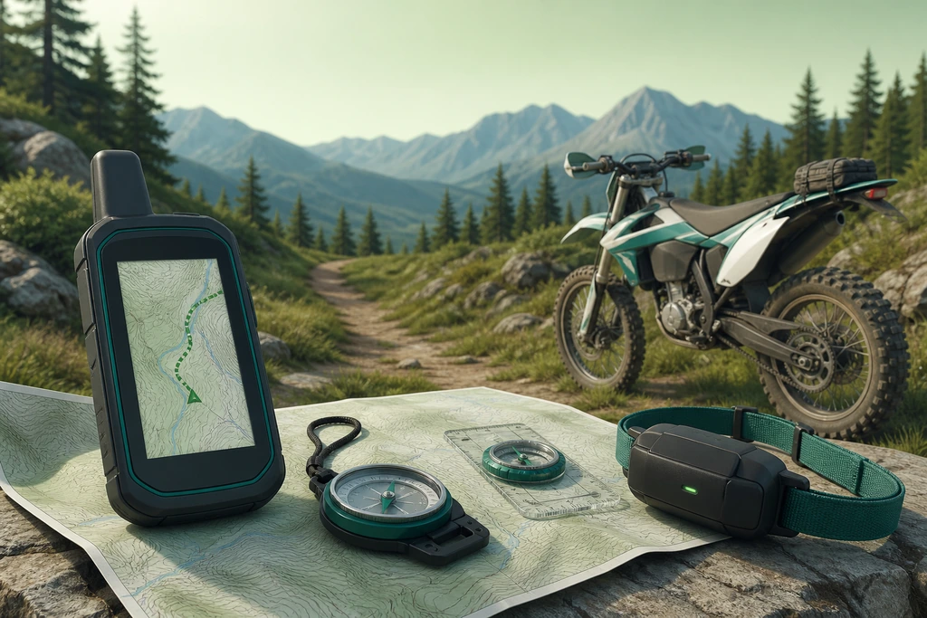
When venturing far beyond marked trailheads, understanding your precise location requires reliable preparation. Our guide on navigation tools and gps tracking for safe backcountry explores how modern devices handle unpredictable satellite signals, challenging terrain, and cold weather constraints. Learn how to balance dedicated units with paper backups, manage battery limits, and maintain situational awareness when electronic signals fade.
Evaluating Navigation Options for Backcountry Rides
| Tool Type | Key Advantages | Core Limitations |
|---|---|---|
| Dedicated GPS Units | Rugged waterproof build and dedicated physical buttons | Small screen size and higher initial device cost |
| Smartphones with Apps | High-resolution detailed mapping and familiar interface | Poor battery retention in cold weather conditions |
| Paper Maps and Compass | Absolute reliability without dependence on battery power | Bulky format and difficult use during active movement |
| Satellite Messengers | Reliable emergency SOS capability in remote regions | Limited text mapping interface and slow data transmission |
Essential Backcountry Navigation Planning
-
Select Multi-Constellation GPS Units
Choose devices using GPS, GLONASS, Galileo, and BeiDou chips with WAAS corrections. This hardware ensures the best possible signal fixes under dense conifer canopies.
-
Carry Paper Trail Backups
Always pack traditional paper maps and physical compasses alongside your electronics. Digital lines often fail where actual trails fade into deadfall or narrow canyons.
-
Manage Cold Weather Batteries
Calculate power demands carefully because freezing temperatures drain lithium cells rapidly. Bring insulated secondary power banks and spare physical batteries for long routes.
Terrain that erodes a clean fix
Signal quality on the move is never constant. A dense conifer canopy can cut a receiver's view of the sky and push a fix from three metres to fifteen; a narrow canyon holds a position but hides the route out. Modern multi-constellation chips — GPS, GLONASS, Galileo, BeiDou — soften some of this, and WAAS or EGNOS corrections help further, but none of them know where the trail actually goes. That gap is where riders get hurt: the unit shows a dot, the map shows a line, and the line is a jeep track that fades into deadfall two kilometres ahead. Paper backups remain standard practice on long routes for a reason. Before you rely on any screen, load the route as a track, mark water sources and gate crossings as waypoints, and note the elevation profile of your bail-out options. Accuracy figures printed on the box are best-case, open-sky numbers; treat them as marketing, not a promise. Always maintain situational awareness in remote environments.
Three tiers of navigation tools
Advice on navigation tools and GPS tracking for safe backcountry travel usually arrives as a shopping list. The more useful framing is a question list, because the kit splits into three classes and each answers a different one. A dedicated handheld — Garmin's GPSMAP line remains the working standard — answers route-finding: buttons that work with gloves, AA or USB-C power, IPX7 sealing, a screen legible in flat noon light. A smartphone in offline mode answers convenience: larger maps, easy GPX import, better photo records, but a glass slab that overheats in sun and drains in cold. A satellite messenger or 406 MHz PLB answers the emergency question: two-way text, an SOS routed to a rescue coordination centre, a battery that idles for days. Carrying all three is overkill for a day loop; carrying only the middle one is a common and avoidable mistake. Weigh redundancy against the route: distance from the trailhead, cell coverage, group size, and whether anyone knows your plan before departure.
Phone or GPS unit: the call
Reporter's version of the question: if the budget covers only one, which? Start with failure modes, not the feature list. A phone fails by battery and heat — a cold morning at 2,400 metres can halve runtime, and direct sun on a black case triggers thermal throttling that dims the screen exactly when you need the map. A dedicated unit fails by screen size and clunky menus; you will spend more time panning than riding. In practice the deciding factors are mundane: does your route exceed one long day, is there a charger at camp, do you ride with gloves on? On multi-day traverses a handheld running AA lithiums wins outright, because replacements sit on the shelf of any backcountry store. On short, well-marked loops an offline phone map with a loaded GPX track is enough. Most riders land in the middle: phone primary, compact handheld as insurance. Field-test the entire setup in inclement weather before embarking on any serious trip.
Backcountry Navigation Essentials
Terrain impacts GPS signal accuracy
Three tiers of navigation tools
Dedicated GPS versus smartphone apps
Paper maps replace electronic failures
Battery drain in cold weather
Limitations of satellite SOS devices
What no device can replace
Electronics answer where you are, not where you should be. The skills that keep a ride uneventful sit outside the device: reading a paper map with a baseplate compass, matching a ridge line to a contour, noticing when a fading track means turn around. Add an itinerary left with someone reliable — trailhead, route, expected return, hard check-in time — because that document starts a search hours before an unanswered message does. Local knowledge outperforms any download: rangers, outfitters and packers will name the creek crossing that washes out in June and the gate padlocked after rain. Riders who navigate only by screen tend to spot errors late, once the mistake has compounded and the light is going. Terrain association, comparing the ground in front of you with the contours on the sheet, still catches a wrong turn in the first hundred metres instead of the fifth kilometre. GPS tracking confirms a position; judgement decides what to do with it.
Battery math on a cold day
Continuous tracking is the heaviest drain on any receiver. Logging a point every ten seconds instead of every second cuts consumption sharply and loses nothing at trail pace — a steady walk covers roughly four to six kilometres an hour, so a ten-second interval places points about fifteen metres apart. Screen brightness is the second biggest draw: set a fifteen-second timeout and keep the backlight low. In flight mode a phone with offline tiles can navigate all day, holding photo and messaging in reserve. Cold is the silent thief; lithium cells lose a large share of usable capacity below zero, so the spare lives inside a jacket, not a cold bag. Budget a power bank rated for two full charges of the primary device and remember conversion losses — a 10,000 mAh pack delivers closer to 6,500 mAh in practice. Start every ride above 80 percent charge and carry a reliable topographical paper map anyway. Before heading into remote areas, ensure your machine is fully prepared by following a comprehensive https://rcsawi.com/ to avoid unexpected mechanical failures.
Where satellite SOS falls short
An SOS function is the part of navigation tools and GPS tracking for safe backcountry kits that riders hope never to test. Two systems dominate: a satellite messenger on a subscription plan, and a 406 MHz personal locator beacon registered to a national authority. The beacon transmits directly to the Cospas-Sarsat network and carries no messaging, but its signal is brutally reliable and its battery lasts five years. The messenger offers two-way text, weather and location sharing, yet depends on a monthly fee, a charged battery and a clear sky view; heavy timber and deep canyons can delay a message by twenty minutes or more. Neither replaces a check-in schedule, and both punish accidental activation — false alerts consume volunteer rescue hours and, in some jurisdictions, attract cost recovery fees. Register the device, write the emergency contact into it, and run a test message from the trailhead before you set off.